![]()

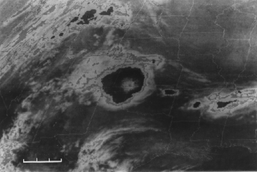
7. Infrared satellite view
of a mesoscale convective system over Kansas, Oklahoma, and Texas.
Gray shades are proportional to infrared
radiative temperature at cloud top, with closest values
indicated by light
shading in the interior of the cloud system.
The scale of this cloud
system
can be compared with the size of the smaller, individual
thunderstorm anvils
seen over the same geographical region as in #6.