![]()
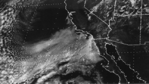
7. Satellite view of stratocumulus off the west coast of North America.
Outlines of states are superimposed, as are latitude and longitude lines
for every 5 degrees.
![]()
7. Satellite view of stratocumulus off the west coast of North America.
Outlines of states are superimposed, as are latitude and longitude lines
for every 5 degrees.